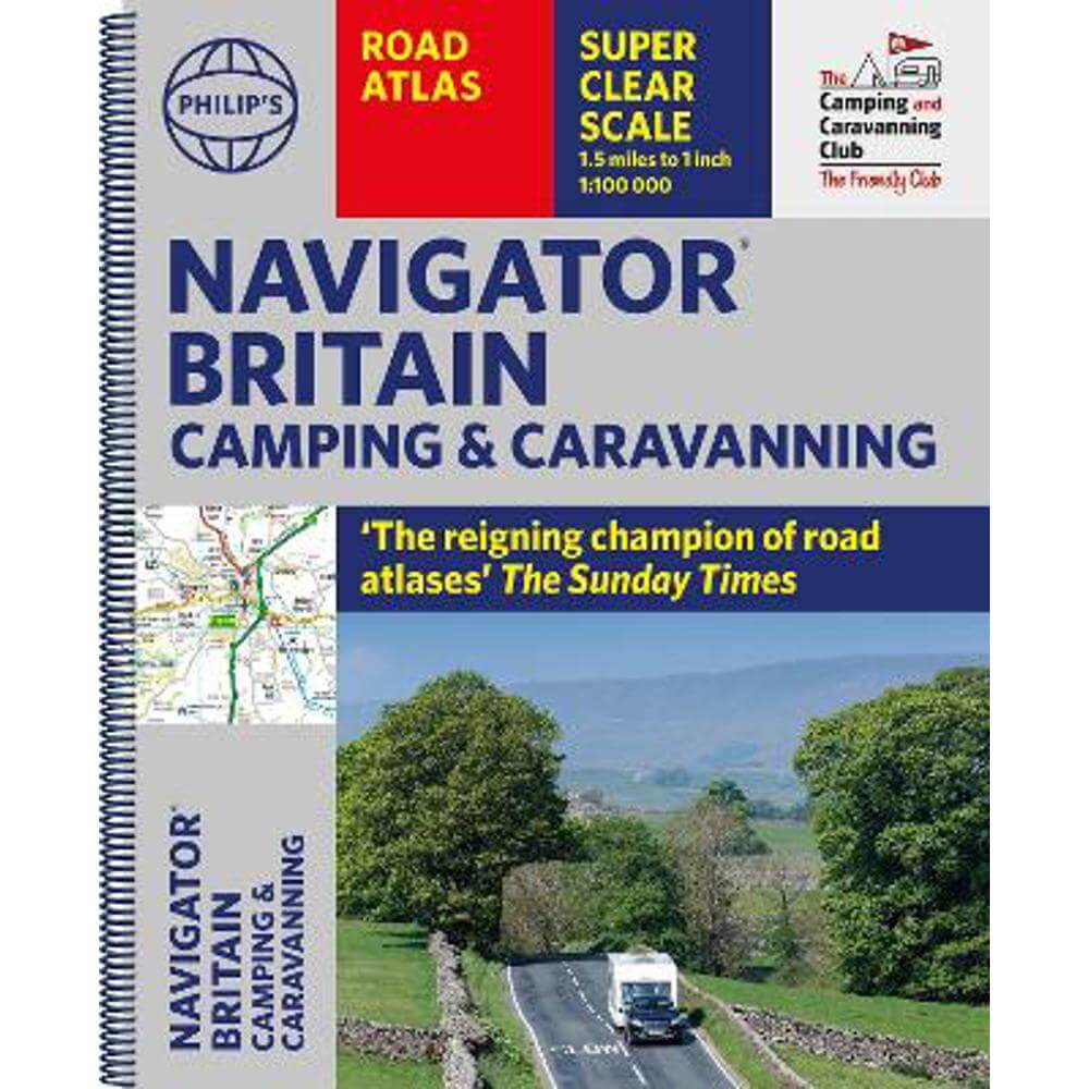
Philip's Navigator Camping and Caravanning Atlas of Britain - Philip's Maps
Enter your postcode and we'll provide you with your delivery & collection options.
- Free Delivery on orders over £50*
- Free Same Day Click & Collect
- Delivery: In stock
Shop more...
The latest edition of Philip's Navigator Camping and Caravanning Atlas of Britain is the must-have atlas for every camper and caravanning enthusiast. With over 1880 approved campsites listed and more than 7750 bridge restrictions clearly marked, the atlas also includes essential information from The Camping and Caravanning Club - The Friendly Club.
THE MUST-HAVE ATLAS OF BRITAIN FOR CAMPING, CARAVANNING AND MOTORHOMES
'A map that beats all others' - The Daily Telegraph
'Scale, accuracy and clarity are without parallel' - Driving Magazine
'No. 1 in the UK for clear maps' - Independent research survey
The lure of the open road and British countryside has never waned and the appeal of independent exploration has surely grown in recent years. However, the adventurous need practical information about what lies ahead - from bridge heights, widths and weights to places to stop and enjoy. Philip's Navigator Camping and Caravanning Atlas of Britain is the No. 1 Choice of Road Atlas for the independent travelling motorist and camper van owner.
* Scale: 1.5 miles to 1 inch = 1:100,000 (Northern Scotland: 3 miles to 1 inch = 1:200,000)
* Over 1,880 approved campsites located, plus essential advice from The Camping and Caravanning Club
* Includes essential information for caravanning motorists: 6000 bridge height limits, 1500 bridge weight limits and 260 bridge width limits
- No other road atlas of Britain offers this level of detail and clarity
- Britain's best road mapping in a great spiral format
- Every street in Britain is marked on the maps
- Over 3000 main roads named
- 100 indexed town-centre maps plus approaches to 12 major urban areas
- Super-detailed 6-page route-planning section
- Exceptional road detail, from motorways to country lanes, with every junction, roundabout and slip-road shown
- Thousands of individually named farms, houses and hamlets
Philip's Navigator Camping and Caravanning Atlas of Britain includes a special feature by The Friendly Club, which is packed with essential camping and caravanning information.
About the Author
Philip's has been at the forefront of creating maps and atlases since 1834. Whether a local street map or a fact-packed World Atlas, we use the most up-to-date technology, expertise and our global network to ensure our customers have all the information they need.
- Contributor:
- Philip's Maps
- Imprint:
- Philip's
- Publisher:
- Octopus Publishing Group
- Release Date:
- 06 Apr 2023
- Number of Pages:
- 416
- Binding:
- Spiral bound
- ISBN13:
- 9781849076289
Delivery
Options to suit you
At Jarrolds we want to ensure you get your order in the most convenient way for you, so we offer..
- Free standard delivery on most orders over £50*
- Express and Nominated options from £5.95*
- Free click and collect from our stores for many items
Help & Advice
Need extra help?
We're always happy to answer any questions or queries you might have, please get in touch using one of the methods below.
- Live chat
Monday to Friday (between 9.00am - 5.30pm) - Call us - 01603 660 661
- Email us here
Returns
How to return a purchase
At Jarrolds we want to ensure you're delighted with your order so if for any reason you are unhappy with your purchase, you can return most items to us in new and unused condition within 30 days of receiving them for a full refund*.