Philip's Navigator Street Atlas Norfolk - Philip's Maps
Enter your postcode and we'll provide you with your delivery & collection options.
- Free Delivery on orders over £50*
- Free Same Day Click & Collect
- Delivery: In stock
Shop more...
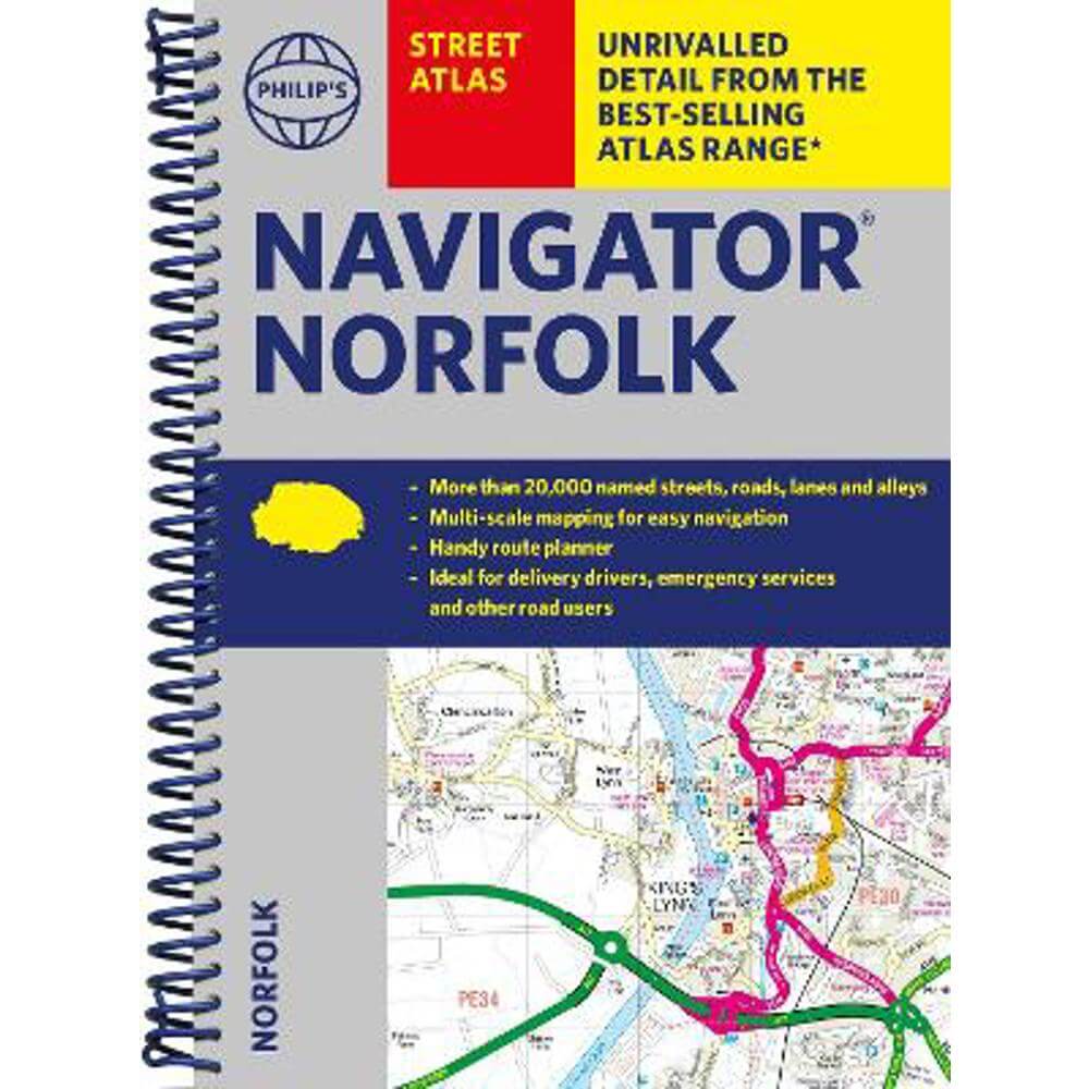
The only county Street Atlas with all the named streets of Norfolk and perfect back-up for emergency services, delivery drivers, visitors and locals.
The only county Street Atlas with all the named streets of Norfolk and perfect back-up for emergency services, delivery drivers, visitors and locals.
With more than 20,000 named streets, roads, lanes and alleys, this is the essential map book for residents and visitors - especially if you're in a hurry.
Includes all the streets in BECCLES, GREAT YARMOUTH, KING'S LYNN, Norwich, Thetford, Attleborough, Aylsham, Brundall, Bungay, Caister-on-Sea, Cromer, Dersingham, Diss, Downham Market, Fakenham, Harleston, Heacham, Hemsby, Hunstanton, Lakenheath, Loddon, North Walsham, Sheringham, Swaffham, Watton, Wells-next-the-Sea, Wisbech, Wymondham.
- New completely revised edition in practical spiral-bound format
- Street maps show car parks, schools, hospitals and many other places of interest, including off the beaten track
- 4-page practical route-planning section showing all A and B roads
- Super-clear mapping
- Easy-to-use index
- Scales: 13/4 inches to 1 mile (1:36,000) and 31/2 inches to 1 mile (1:18,000). Norwich: 7 inches to 1 mile (1:9,000).
Other information on the maps includes postcode boundaries, car parks, railway and bus stations, post offices, schools, colleges, hospitals, police and fire stations, places of worship, leisure centres, footpaths and bridleways, camping and caravan sites, golf courses, and many other places of interest.
About the Author
Philip's has been at the forefront of creating maps and atlases since 1834. Whether a local street map or a fact-packed World Atlas, we use the most up-to-date technology, expertise and our global network to ensure our customers have all the information they need.
- Contributor:
- Philip's Maps
- Imprint:
- Philip's
- Publisher:
- Octopus Publishing Group
- Release Date:
- 18 Jan 2024
- Number of Pages:
- 224
- Binding:
- Spiral bound
- ISBN13:
- 9781849076432
Delivery
Options to suit you
At Jarrolds we want to ensure you get your order in the most convenient way for you, so we offer..
- Free standard delivery on most orders over £50*
- Express and Nominated options from £5.95*
- Free click and collect from our stores for many items
Help & Advice
Need extra help?
We're always happy to answer any questions or queries you might have, please get in touch using one of the methods below.
- Live chat
Monday to Friday (between 9.00am - 5.30pm) - Call us - 01603 660 661
- Email us here
Returns
How to return a purchase
At Jarrolds we want to ensure you're delighted with your order so if for any reason you are unhappy with your purchase, you can return most items to us in new and unused condition within 30 days of receiving them for a full refund*.