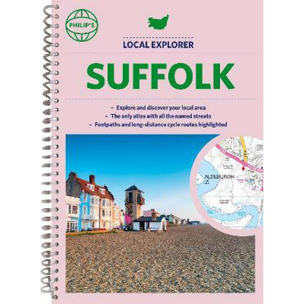
Philip's Local Explorer Street Atlas Suffolk: Spiral edition - Philip's Maps
Enter your postcode and we'll provide you with your delivery & collection options.
- Free Delivery on orders over £50*
- Free Same Day Click & Collect
- Delivery: In stock
Shop more...
Philip's created this new series for walkers, cyclists and local explorers at a scale that provides greener options to uncover all the nature and hidden gems in your local area. From Bury St Edmunds to Woodbridge , we cover Suffolk in enticing detail.
Who hasn't explored and enjoyed their surrounding area in recent years and come to appreciate what is on our respective doorsteps? Philip's have created this new series for walkers, cyclists and local explorers at a scale that provides greener options to uncover all the nature and hidden gems in your local area.
Includes all the streets in BURY ST EDMUNDS, FELIXSTOWE, HAVERHILL, IPSWICH, LOWESTOFT, NEWMARKET, SUDBURY, Aldeburgh, Beccles, Brandon, Bungay, Burwell, Capel St Mary, Diss, East Bergholt, Eye, Framlingham, Great Barton, Hadleigh, Halesworth, Harleston, Harwich, Hopton on Sea, Isleham, Lakenheath, Lavenham, Leiston, Long Melford, Manningtree, Mildenhall, Needham Market, Orford, Saxmundham, Shotley Gate, Soham, Southwold, Steeple Bumpstead, Stowmarket, Thetford, Wickham Market, Woodbridge.
The detailed scale allows explorers, walkers and cyclists to avoid main roads and select pathways, bridleways, coastal routes and lanes for optimum enjoyment. Whether it's meandering through the local parks or historic houses, exploring neighbourhood nature spots or the local town, we have the clear mapping and information you need.
If you do have to travel to reach areas you'd like to explore, all A and B roads are clearly shown on our Route Planner and we include all the large-scale town and city plans. Exceptional detail allows the user to pinpoint exactly where they need to go and the best route to follow.
* The only atlas with every road, street and lane in the county named, along with the best pedestrian routes, long-distance cycle routes.
* Highlighting lanes, alleyways, footpaths and bridleways, camping and caravan sites, golf courses, parks, gardens and many, many other places of interest
* Contains all the usual one-way streets, barriers, car parks, railway and bus stations, hospitals, colleges and schools, police and fire stations, places of worship, post offices, shopping and leisure centres
About the Author
Philip's has been at the forefront of creating maps and atlases since 1834. Whether a local street map or a fact-packed World Atlas, we use the most up-to-date technology, expertise and our global network to ensure our customers have all the information they need.
- Contributor:
- Philip's Maps
- Imprint:
- Philip's
- Publisher:
- Octopus Publishing Group
- Release Date:
- 06 Jul 2023
- Number of Pages:
- 200
- Binding:
- Spiral bound
- ISBN13:
- 9781849076364
Delivery
Options to suit you
At Jarrolds we want to ensure you get your order in the most convenient way for you, so we offer..
- Free standard delivery on most orders over £50*
- Express and Nominated options from £5.95*
- Free click and collect from our stores for many items
Help & Advice
Need extra help?
We're always happy to answer any questions or queries you might have, please get in touch using one of the methods below.
- Live chat
Monday to Friday (between 9.00am - 5.30pm) - Call us - 01603 660 661
- Email us here
Returns
How to return a purchase
At Jarrolds we want to ensure you're delighted with your order so if for any reason you are unhappy with your purchase, you can return most items to us in new and unused condition within 30 days of receiving them for a full refund*.