Great Britain & Northern Ireland A-Z Road Atlas 2024 (A3 Paperback) (Paperback) - A-Z Maps
Enter your postcode and we'll provide you with your delivery & collection options.
- Free Delivery on orders over £50*
- Free Same Day Click & Collect
- Delivery: In stock
Shop more...
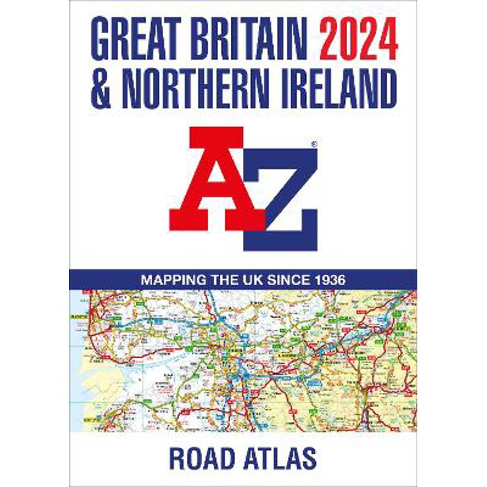
A full-colour, paperback road atlas of Great Britain, now fully revised and updated. Clear detailed road mapping at a scale of 3.5 miles to 1 inch. Presented in a large, easy to read A3 format.
A full-colour, paperback road atlas of Great Britain, now fully revised and updated. Clear detailed road mapping at a scale of 3.5 miles to 1 inch. Presented in a large, easy to read A3 format.
This essential road atlas includes the following;
- 11 pages of main route mapping covering Greater London, Birmingham and Manchester
- Mileage chart with average journey times
- Information on motorway junctions with limited interchanges
- 70 city and town centre street plans
- 16 port and airport plans
- Channel Tunnel terminus maps
- Map reference information also in French and German
Also included is a full index to cities, towns, villages, hamlets, major destinations and selected places of interest with postcodes for sat-nav use.
Instantly recognisable and easy to use, the road mapping has been specifically tailored for the smaller scale featuring: clear standard road classification colours for easy identification, motorway junction symbols, under construction and proposed roads, primary route destinations, service areas, National and county boundaries, and a wide range of tourist and ancillary information, including Blue Flag Beaches.
The combination of map scale and large format gives a double-page driving range of 60 miles north to south and 80 miles east to west, making this publication the ideal motoring companion.
About the Author
Britain's leading street map publisher providing cartographic services, digital data products and paper mapping publications (including Street Atlases, Visitors Guides, Great Britain Road Atlases and The Adventure Atlas).
- Contributor:
- A-Z Maps
- Imprint:
- HarperCollins
- Publisher:
- HarperCollins Publishers
- Release Date:
- 13 Apr 2023
- Number of Pages:
- 152
- Binding:
- Paperback / softback
- ISBN13:
- 9780008597627
Delivery
Options to suit you
At Jarrolds we want to ensure you get your order in the most convenient way for you, so we offer..
- Free standard delivery on most orders over £50*
- Express and Nominated options from £5.95*
- Free click and collect from our stores for many items
Help & Advice
Need extra help?
We're always happy to answer any questions or queries you might have, please get in touch using one of the methods below.
- Live chat
Monday to Friday (between 9.00am - 5.30pm) - Call us - 01603 660 661
- Email us here
Returns
How to return a purchase
At Jarrolds we want to ensure you're delighted with your order so if for any reason you are unhappy with your purchase, you can return most items to us in new and unused condition within 30 days of receiving them for a full refund*.