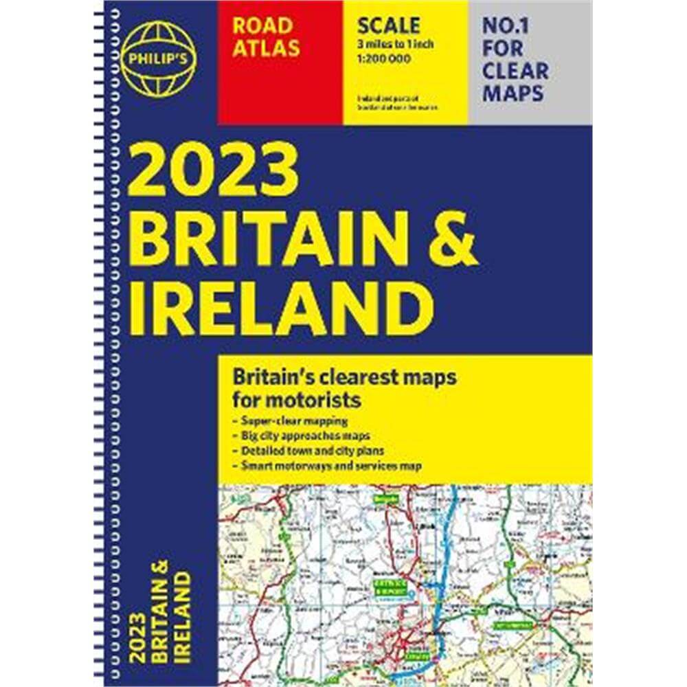
2023 Philip's Road Atlas Britain and Ireland: (A4 Spiral) - Philip's Maps
Enter your postcode and we'll provide you with your delivery & collection options.
- Free Delivery on orders over £50*
- Free Same Day Click & Collect
- Delivery: Out of stock
Shop more...
Philip's is No. 1 in the UK for clear mapping and the Philip's 2023 Road Atlas Britain and Ireland is the top of the range, mid A4-sized, spiral-bound atlas featuring fully updated maps from the Philip's digital database. The maps are super-clear and have been voted Britain's clearest and most detailed in an independent consumer survey.
PHILIP'S - No. 1 in the UK for clear maps
'Good balance between detail and clarity with excellent town maps' What Car?
* Mapping at a scale of 3 miles to 1 inch = 1:200,000
* Philip's: Britain's clearest maps for motorists
* Completely updated and revised for 2023
* New map showing Smart Motorways
- Practical spiral bound, lie-flat format
- 160 pages of fully updated super-clear road maps
- 10 pages of detailed route-planning maps - plan your route in advance
- 88 indexed town-centre maps
- 14 pages of city approach maps with named arterial roads
- 2 page road map of Ireland
- Map of scenic Britain and a map highlighting railways, airports and ferry ports
Philip's 2023 Road Atlas Britain and Ireland is the top-of-the-range spiral road atlas featuring the latest maps from the Philip's digital database. Voted Britain's clearest and most detailed in an independent consumer survey, the mapping is super-clear.
Philip's 2023 Road Atlas Britain and Ireland contains 160 pages of road maps covering Britain at 3 miles to 1 inch, with the Western Isles, Orkney and Shetland at smaller scales. The maps clearly mark service areas, roundabouts and multi-level junctions, and in rural areas distinguish between roads over and under 4 metres wide.
The atlas also includes a 2-page road map of Ireland, 10 pages of route-planning maps, a distance table, 10 large-scale city approach maps with named arterial roads, and 88 extra-detailed and fully indexed town and city plans.
About the Author
Philip's has been at the forefront of creating maps and atlases since 1834. Whether a local street map or a fact-packed World Atlas, we use the most up-to-date technology, expertise and our global network to ensure our customers have all the information they need.
- Contributor:
- Philip's Maps
- Imprint:
- Philip's
- Publisher:
- Octopus Publishing Group
- Release Date:
- 02 Jun 2022
- Number of Pages:
- 256
- Binding:
- Spiral bound
- ISBN13:
- 9781849076098
Delivery
Options to suit you
At Jarrolds we want to ensure you get your order in the most convenient way for you, so we offer..
- Free standard delivery on most orders over £50*
- Express and Nominated options from £5.95*
- Free click and collect from our stores for many items
Help & Advice
Need extra help?
We're always happy to answer any questions or queries you might have, please get in touch using one of the methods below.
- Live chat
Monday to Friday (between 9.00am - 5.30pm) - Call us - 01603 660 661
- Email us here
Returns
How to return a purchase
At Jarrolds we want to ensure you're delighted with your order so if for any reason you are unhappy with your purchase, you can return most items to us in new and unused condition within 30 days of receiving them for a full refund*.