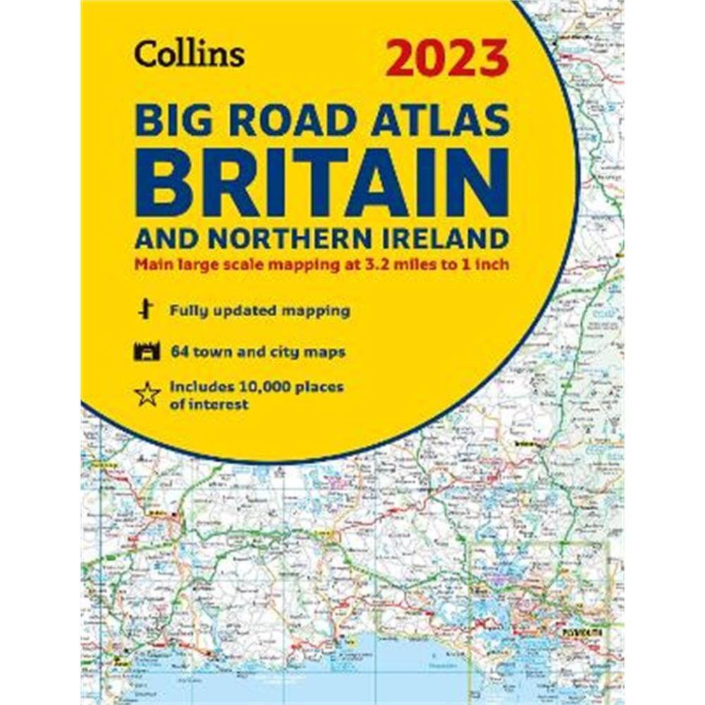
2023 Collins Big Road Atlas Britain and Northern Ireland: A3 Spiral (Collins Road Atlas) - Collins Maps
Enter your postcode and we'll provide you with your delivery & collection options.
- Free Delivery on orders over £50*
- Free Same Day Click & Collect
- Delivery: In stock
Shop more...
Discover new places with fully updated road atlases from Collins. The ultimate 3.2 miles to 1 inch scale large format paperback road atlas of Britain, featuring Collins' popular and well established road mapping, and designed for exceptional clarity and ease of use.
Discover new places with fully updated road atlases from Collins.
The ultimate 3.2 miles to 1 inch scale large format paperback road atlas of Britain, featuring Collins' popular and well established road mapping, and designed for exceptional clarity and ease of use.
The atlas has a wide range of urban area maps at even larger scale and 64 detailed town centre street plans.
This fully updated road atlas covers the whole of Britain with each scale of mapping colour-coded for ease of use. The smallest scale maps are great for long distance route planning and the street plans help you locate your final destination.
Main features
* Easy to use, clear road maps at a scale of 3.2 miles to 1 inch of England, Wales and Southern Scotland. Northern Scotland is shown at 5 miles to 1 inch.
* Route planning section including maps at a scale of 15.8 miles to 1 inch (1:1,000,000) for long distance route planning, motorway services information and a handy distance calculator.
* 22 urban area approach maps at 1 mile to 1 inch which clearly show the best routes through and into the busiest built-up areas.
* 64 street maps focused on town centres showing places of interest, car park locations and one-way streets.
* M25 orbital map.
* Information about restricted motorway junctions.
* Park & Ride locations shown, ideal when visiting towns and cities.
* Over 30 categories of places of interest including castles, theme parks, sports venues, universities, mountain bike trails and surfing beaches.
* Full postcodes for the top 1000 places of interest - ideal for use alongside satnav systems.
About the Author
Explore the world through accurate and up-to-date mapping.
- Contributor:
- Collins Maps
- Imprint:
- Collins
- Publisher:
- HarperCollins Publishers
- Release Date:
- 09 Jun 2022
- Number of Pages:
- 176
- Binding:
- Spiral bound
- ISBN13:
- 9780008528751
Delivery
Options to suit you
At Jarrolds we want to ensure you get your order in the most convenient way for you, so we offer..
- Free standard delivery on most orders over £50*
- Express and Nominated options from £5.95*
- Free click and collect from our stores for many items
Help & Advice
Need extra help?
We're always happy to answer any questions or queries you might have, please get in touch using one of the methods below.
- Live chat
Monday to Friday (between 9.00am - 5.30pm) - Call us - 01603 660 661
- Email us here
Returns
How to return a purchase
At Jarrolds we want to ensure you're delighted with your order so if for any reason you are unhappy with your purchase, you can return most items to us in new and unused condition within 30 days of receiving them for a full refund*.