Philip's RGS Junior School Atlas (Paperback) - Philip's Maps
Enter your postcode and we'll provide you with your delivery & collection options.
- Free Delivery on orders over £50*
- Free Same Day Click & Collect
- Delivery: In stock
Shop more...
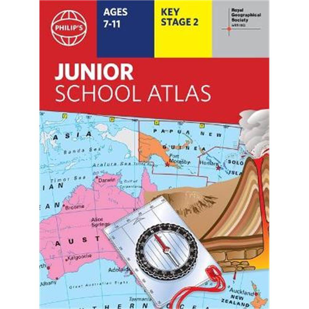
The market-leading atlas for pupils at primary schools, Philip's RGS Junior School Atlas has been fully revised and updated for its 11th edition.
The 11th edition of the market-leading atlas for primary school pupils, Philip's RGS Junior School Atlas has been fully revised and updated with all the latest facts and curriculum requirements.
- The essential atlas for primary schools with clear and easy-to-follow maps and diagrams - updated for 2021/22
- Published in association with the Royal Geographical Society
- Recommended for Key Stage 2 of the National Curriculum - and all 7-11 year olds
- An excellent introduction to mapping concepts such as scale, direction, symbols, longitude and latitude
- 22-page Britain and Ireland section with clear thematic charts, diagrams and large-scale regional maps
- 22-page section on The World, with political maps - and thematic treatment of key themes, from volcanoes and earthquakes to transport and tourism
- Continents section with physical and political maps
- Easy-to-follow map references and 1,000-place index
The market-leading atlas for pupils at primary schools, Philip's RGS Junior School Atlas is a stimulating and authoritative first introduction to the world of maps, and is recommended for Key Stage 2 of the National Curriculum.
The introductory section describes the meaning of scale, how to measure distances using the maps, and explains the symbols on the maps.
The following section is devoted to the United Kingdom and Ireland. Thematic maps cover topics such as mountains and rivers, climate and weather, population and cities, farming and fishing, industry and energy, transport, tourism and conservation. Regional maps of England and Wales, Scotland and Ireland complete this section.
The rest of the atlas is made up of world thematic maps and world continental maps. Included are topics such as the world's climate, vegetation, agriculture, energy sources, and environmental concerns, such as global warming. A simple letter-figure index completes the atlas - a useful introduction to help the young reader find his/her way around the maps. Available in both hardback and paperback editions.
About the Author
Philip's has been at the forefront of creating maps and atlases since 1834. Whether a local street map or a fact-packed World Atlas, we use the most up-to-date technology, expertise and our global network to ensure our customers have all the information they need.
- Contributor:
- Philip's Maps
- Imprint:
- Philip's
- Publisher:
- Octopus Publishing Group
- Release Date:
- 27 Oct 2021
- Binding:
- Paperback / softback
- ISBN13:
- 9781849075800
Delivery
Options to suit you
At Jarrolds we want to ensure you get your order in the most convenient way for you, so we offer..
- Free standard delivery on most orders over £50*
- Express and Nominated options from £5.95*
- Free click and collect from our stores for many items
Help & Advice
Need extra help?
We're always happy to answer any questions or queries you might have, please get in touch using one of the methods below.
- Live chat
Monday to Friday (between 9.00am - 5.30pm) - Call us - 01603 660 661
- Email us here
Returns
How to return a purchase
At Jarrolds we want to ensure you're delighted with your order so if for any reason you are unhappy with your purchase, you can return most items to us in new and unused condition within 30 days of receiving them for a full refund*.