South Downs Way Adventure Atlas (Paperback)
Enter your postcode and we'll provide you with your delivery & collection options.
- Free Delivery on orders over £50*
- Free Same Day Click & Collect
- Delivery: In stock
Shop more...
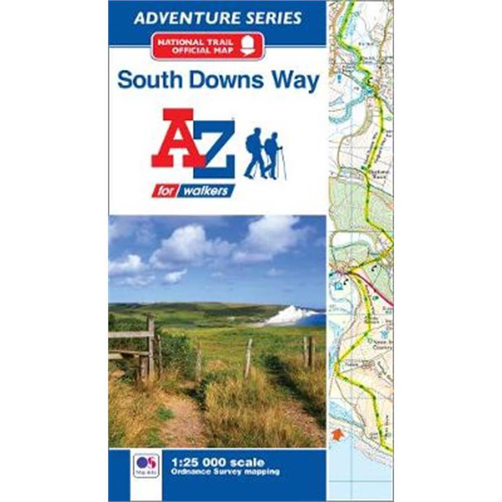
The A-Z Adventure series features the accuracy and quality of OS Explorer mapping in a convenient book, complete with index.
The A-Z Adventure Series of maps combines the best of OS and A-Z, creating the perfect companion for walkers, off-road cyclists, horse riders and anyone wishing to explore the great outdoors.
The South Downs Way is a National Trail along the chalk escarpments and ridges of the South Downs. This undulating path begins in Winchester and finishes in Eastbourne covering 100 miles (160km) and lies completely within the South Downs National Park. The route on the map is clearly highlighted in yellow with mileage markers to gauge distances when planning sections of the walk to enjoy.
This official National Trail Map* of the South Downs Way features 44 pages of continuous Ordnance Survey 1:25000 mapping providing complete coverage of the South Downs Way. This atlas includes a route planner showing distances between places and the amenities available, featuring:
*Information Centres
*Hotels/B&Bs
*Youth Hostels
*Campsites (seasonal opening)
*Public Houses
*Shops
*Restaurants
*Cafes (seasonal opening)
*Petrol Stations
Also featured is advice on safety and security when walking and a selection of QR codes linked to useful websites, including temporary route updates from the National Trails, regional information, map reading advice and weather reports.
Unlike the original OS sheets, this A-Z Adventure Atlas includes a comprehensive index to towns, villages, hamlets and locations, natural features, nature reserves, car parks and youth hostels, making it easy to find the required location quickly. Each index entry has a page reference and a six figure National Grid Reference. With a book size of 240mm x 134mm it is the same size as a standard folded OS map.
Other National Trails available within the A-Z Adventure series include: Cotswold Way, Hadrian's Wall Path, North Downs Way, Offa's Dyke Path, Pembrokeshire Coast Path, Pennine Way, SW Coast Path, Thames Path and The Ridgeway.
*A-Z is the official mapping partner of the National Trails.
About the Author
Britain's leading street map publisher providing cartographic services, digital data products and paper mapping publications (including Street Atlases, Visitors Guides, Great Britain Road Atlases and The Adventure Atlas).
- Imprint:
- Geographers' A-Z Map Co Ltd
- Publisher:
- HarperCollins Publishers
- Release Date:
- 09 Aug 2019
- Number of Pages:
- 60
- Binding:
- Paperback / softback
- ISBN13:
- 9781782571674
Delivery
Options to suit you
At Jarrolds we want to ensure you get your order in the most convenient way for you, so we offer..
- Free standard delivery on most orders over £50*
- Express and Nominated options from £5.95*
- Free click and collect from our stores for many items
Help & Advice
Need extra help?
We're always happy to answer any questions or queries you might have, please get in touch using one of the methods below.
- Live chat
Monday to Friday (between 9.00am - 5.30pm) - Call us - 01603 660 661
- Email us here
Returns
How to return a purchase
At Jarrolds we want to ensure you're delighted with your order so if for any reason you are unhappy with your purchase, you can return most items to us in new and unused condition within 30 days of receiving them for a full refund*.